Six core services, one focus: finding problems before they become failures. Every flight is planned, authorized and flown by certified pilots — and every deliverable is built to be acted on.
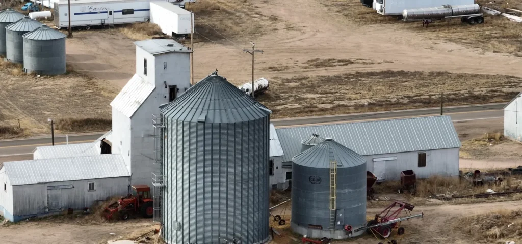
Agricultural & Grain Storage Inspections
Crop stand and drainage assessment, bin and elevator exteriors — covered in a single flight instead of a day of walking. Multispectral sensing sees stress before your eyes can: the section that didn’t emerge, the low spot that’s drowning, the strip the sprayer missed.
Bin and elevator exterior condition report
Drainage and crop stand imagery, georeferenced
Crop health (NDVI) maps from multispectral imaging [confirm sensor — §10]
Moisture trapped in flat roofs. Heat bleeding through building envelopes. Hot spots developing in electrical equipment and solar arrays. Our radiometric thermal sensors see what visual inspection can’t — and catch it while it’s still a maintenance item, not a failure.
Commercial flat roofs, facades and eavestroughs documented in detail — without anyone leaving the ground. You get condition photos of every problem area plus a measured orthomosaic of the roof plane you can take straight to your contractor.
Towers, transmission lines, bridges, tanks and stacks — inspected with high-zoom optics from a safe standoff distance. No shutdowns, no climbing crews, no scaffolding. Just close-up detail of every component, captured in a fraction of the time.
High-resolution close-ups of every component
Defect log with locations and severity
Repeatable flight plans for year-over-year tracking
Orthomosaics, stockpile volumes, elevation models and as-built site records — survey-grade data products generated from a single flight. Flown on RTK-equipped DJI enterprise platforms, every output is georeferenced data you can measure against — not just pictures.
When storm or hail hits, documentation speed matters. We deploy fast and capture time-stamped aerial evidence of the damage — the record owners and insurers rely on to move claims forward instead of arguing about them.